Yorke Peninsula Council has adopted its Coastal Management Strategy, which will protect the region’s coastline for current and future generations.
The Strategy provides a framework for management of coastal Council land, with the third section focussing on from the Council’s north-eastern border at Federation Park to Hickeys Point.
Section one concentrates on Hickeys Point to Corny Point lighthouse, and section two Corny Point to the Council’s north-western border (The Gap).
The coastal environment is a major feature of the Council area, with 485 kilometres of coastline encompassing stunning cliffs, surf, estuaries, rocky reefs, long low-energy beaches, mangroves, samphire flats and more.
The coastal zone contains significant Narungga (traditionally spelled Nharangga) heritage.
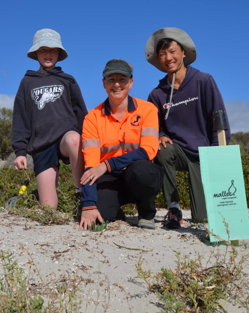
A diverse range of marine and terrestrial flora and fauna, some of which are nationally and internationally significant, are supported.
The coastline of Yorke Peninsula (Guuranda) is a sensitive system, and there are increasing pressures from development, agriculture, tourism, fishing and recreation.
There are many management issues that Council seeks to address, such as unauthorised vehicle access, vegetation damage and dune drift.
“The Coastal Management Strategy provides direction to Council and other land managers/stakeholders, by developing a framework for the management of coastal Council land,” Mayor Darren Braund said.
“The Strategy will be used as a basis for assigning and applying for funding to undertake priority works over Council land and infrastructure.
“Our coastline is there for us all and we must get a long-term plan in place so we can all continue to enjoy our coast for many, many years to come.”
To view the Strategy visit www.yorke.sa.gov.au/environment/coast/coastal-management-strategy.