Welcome to the Port Victoria Volcano Trail.

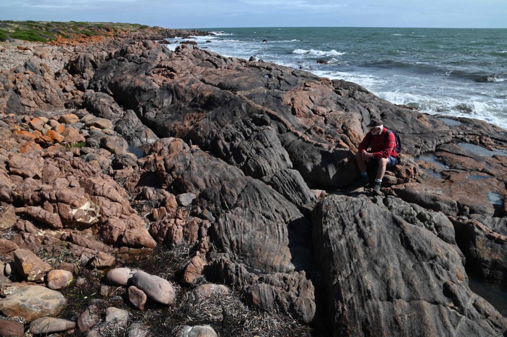
The Port Victoria Volcano Trail provides a unique opportunity to learn about the various spectacular rocks along the Port Victoria beach – and the gigantic underwater volcanic eruption that led to their presence about 2 billion years ago – all while enjoying a stroll along the coast, and the spectacular views out to Wardang Island and Spencer Gulf.
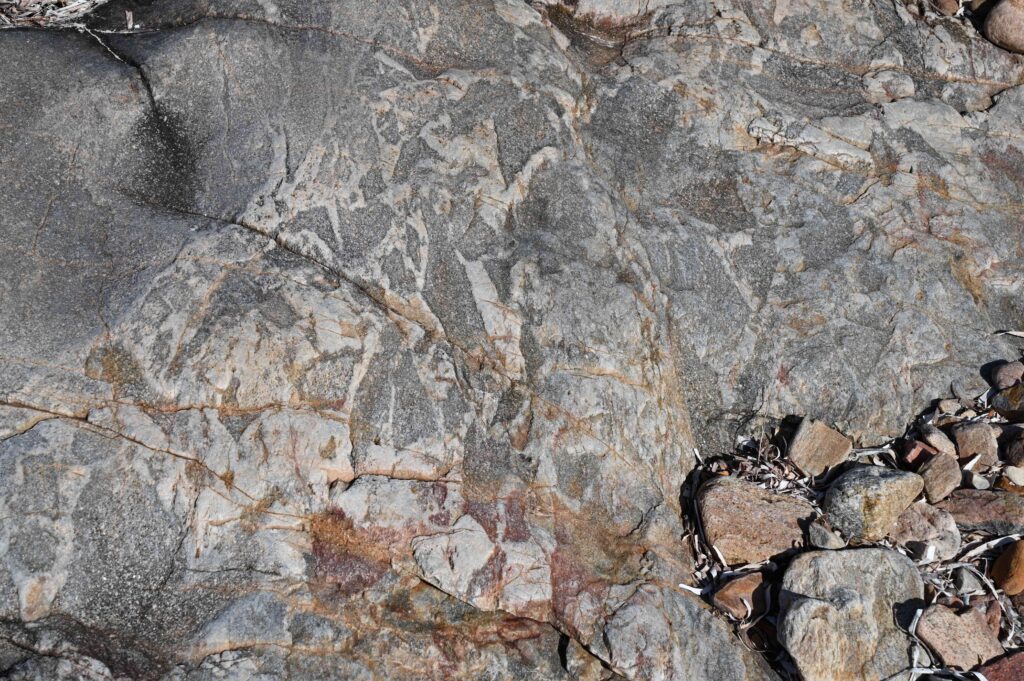
The trail explains how these rocks tell the tale of one of the great volcanic events in Earth’s history, from vast outpourings of red and black lava to explosive eruptions and boiling muds. It features six geosites, each denoted by signage and numbered boulders.
The trail also includes the original “Port Victoria Geological Trail” Rotunda, which is situated on the hill at the jetty carpark and features additional information.
YouTube video showing an underwater volcanic eruption. Source: Discovery.
Geosite 1
Red v Black Lava Clash
The Volcano Trail starts at Geosite 1, with a numbered boulder and sign just south of the jetty next to the museum. This shows where red and black lavas once flowed together and clashed to form the two different rock types that you can now see underneath the jetty.
On the northern side of the jetty are the red rocks, known as rhyolite (Greek for flowing rock). The red rhyolite originated as molten lava flowing at 800°C. The black rocks on the southern side of the jetty are basalt and would have erupted when much hotter at 1200°C.
The two types of rock are made of different chemical compositions and minerals, causing their colour difference – the red lava contains more silica while the black lava has more iron. The molten magma of each lava formed originally at different depths below the Earth’s surface.
The lavas originated as molten magma contained in huge underground chambers. The rhyolite lava is spotted with small crystals set in a fine grained red matrix, which indicates that the lava cooled quickly as it flowed out of the volcanoes.
The black rock has black and white mineral crystals, their larger size, suggests that the black magma did not reach the surface and so cooled and solidified or crystallized more slowly by being insulated under the ground.
Geosite 2
Dragon Eggs
The black basalt rocks contain unusual geometrically shaped small cup-shaped “nests” that look like eggs, hence the name Dragon’s Eggs. These are named both for their smooth oval shape and their fiery origin. Scattered around are also upstanding jagged and pointed tooth-shaped formations.
A combination of weathering and erosion acting upon the original fracture patterns in these rocks have created these natural sculptures. The fracture pattern is made up of cracks in the basalt rock, which are known as joints. The joints formed initially when the lava cooled, and later when the rocks were uplifted from deep below ground to the surface.
The eggs and teeth structures are fragile so please be very careful, take a photo and then leave them where they are, untouched.
Geosites 3a and 3b
Seabed Slivers
Seabed slivers are very fine rock layers which formed when sediments were periodically washed into an ancient sea during storms or floods. Each layer of sand and mud settled on the sea floor to form a horizontal bed of sediment.
Each of the layers represents a former sea floor, so any bed deposited on top of another is the younger of the two. Bedded sediments therefore provide a unique record of time through the ages.
Within each layer, heavier and coarser sand and gravel sinks faster than mud, thus some sedimentary layers are graded from the coarsest particle size at the bottom to the finest at the top. These rare and key features, called graded beds, are preserved within the sedimentary rocks at this site. Evidence such as this can be used to show what was happening to the earth’s crust millions of years ago.
These graded features in the ancient sedimentary rocks are easy to see because the beds are no longer horizontal but have been tipped up. Millions of years after the sediments were buried, a great mountain range formed here, and the sedimentary layers were squeezed and crumpled.
The pressure and heat (called metamorphism) which occurred deep below the mountains also caused new minerals to form. The most striking of these metamorphic minerals are pink feldspar, dark green amphibole and light green epidote. These new minerals are most obvious in the lighter coloured, red-brown slivers that run through the rock. The slivers were formed by very hot fluids passing up through the rock and altering it so much that it no longer looks anything like the original sediments.
Due to the variability of both the seabed sliver rocks and the reach of the tides, two sites have been selected for viewing them. Details of the sedimentary beds are better displayed at the northern Site 3a, while Site 3b at the southern end is better for viewing the Seabed Slivers.
The Seabed Slivers are best observed at a low tide. You can find the latest tide information for Port Victoria via the following link Port Victoria tides.
Geosite 4
Harlequin Gneiss
Harlequin Gneiss features brightly coloured green minerals, amphibole and epidote.
Layering in these rocks is due to their origin as sedimentary beds deposited on an ancient sea floor. However, these rocks are most striking as there are the two distinct types of layers.
The dark brown layers, which stand out because they are harder, and in which the minerals are of a finer-grain size, are similar to the sedimentary beds viewed at Geosite 3a.
In contrast, the minerals in the less upstanding green-coloured layers are of coarser size, and include the green amphibole and epidote minerals also seen at the previous sites. These minerals are rich in calcium, indicating the layers might have been deposited as muddy limestone. However, the green layers might also have suffered major chemical changes due to very hot and deep streaming fluids during the mountain-building period, similar to what occurred with the nearby Seabed Silvers.
This Harlequin Gneiss represents an example of the rock alteration trend which leads to the famous Harlequin Stone, which can be viewed between Geosites 5 and 6. There, Harlequin Gneiss sedimentary rock layers make an unusual zig-zag bend. Almost hidden on the underside of the bend is a mass of vivid red and pistachio green rock. This is true Harlequin Stone, which displays the full extent of the alteration of the rocks deep in the earth during the mountain building period.
Port Victoria uniquely displays how Harlequin Stone evolved from a seafloor sediment via:
- Volcanism;
- Being buried many kilometres deep;
- Metamorphism (transforming into denser, more compact rocks);
- Chemical alteration by percolation of hot fluids; and
- Folding during mountain-forming uplift to form the colourful minerals displayed here.
This site at Port Victoria is highly unique as this is a natural exposure on the coast.
Harlequin Stone is the rock that was chosen to represent South Australia in the National Rock Garden in Canberra.
Geosite 5
Blasted Peperite Breccia

This geosite indicates features unique to submarine volcanoes, and thus is critical to the understanding of the rock record along this coastline.
Blocky dark-coloured angular shards and fragments of lava rock are cemented together within light coloured fine-grained rock. The common geological name for rock like this is “breccia” derived from the Italian word for broken. However, at Geosite 5 the breccia is special, and has been given the name peperite.
At Port Victoria these rocks look nothing like cracked pepper, however at the place where they were originally described in France the black fragments were much smaller, so the rock did look as if it had been peppered. This type of rock formation is not common because it only occurs in underwater volcanic environments, just like those that once existed in the vicinity of what is now Port Victoria.
Peperite forms when red-hot lava intrudes into cold wet sediments. The outside of the lava freezes and solidifies to form a hard brittle skin, which continually and explosively blasts and shatters as the lava continues to erupt. At the same time the water in the wet sediments boils and turns into steam and the sediment forms a slurry which engulfs the shard-like volcanic fragments.
The peperite breccia, lava rock and sediments are clues to show that sedimentation coexisted with underwater volcanic activity all those billions of years ago.
Geosite 6
The Pink Wall
Geosite 6 marks a place where a large crack in the earth was invaded by super-hot magma. The magma cooled and crystallised to form a wall of pink granite, which cuts across the pre-existing sedimentary layers. This is what geologists refer to as a dyke, is a term traditionally used for cross-cutting features. It is derived from the old European name for a wall.
The Pink Wall stands up on its own because it is made up of two hard minerals, which are locked together in such a way that they resist erosion. The minerals are clear white quartz and pink tabular feldspar, and it is because the quartz and feldspar crystals are so large that this variety of granite is called ‘pegmatite’.
There are several granite and pegmatite filled cracks exposed along the shoreline, another example being south of the boat ramp.
About Walk The Yorke
The Port Victoria Volcano Trail is a feature section of the Walk the Yorke, a continuous shared walking and cycling leisure trail stretching right around the Yorke Peninsula coastline for more than 500 kilometres. Taking the trail allows you to explore Yorke Peninsula’s coastline from Port Wakefield to Moonta Bay.
With coastal trails and town walks, Walk the Yorke showcases Yorke Peninsula’s spectacular beaches, diverse communities and unique environments. Choose from short walks or a day walk, or why not try a multi-day walk? Download the Walk the Yorke leisure trail map, and start planning your next adventure!
Walkers can purchase detailed topographical maps of Walk The Yorke to help with planning their journey. The maps can be purchased as sectional maps or as a complete set of 10 from the Yorke Peninsula Visitor Centre, place your order online for sectional maps or the full set of Walk The Yorke topographical maps.
The Volcano Trail is brought to you by Yorke Peninsula Council, Port Vincent Progress Association and the University of South Australia. Special thanks to geologists Pat James and Colin Conor, and Uni SA student Harrison Nash.
The trail signs are situated along the pathway. Please remember to take care if accessing the beach.


